Talk on Southwark’s Mapping System

Talk on Southwark’s Digital Mapping System
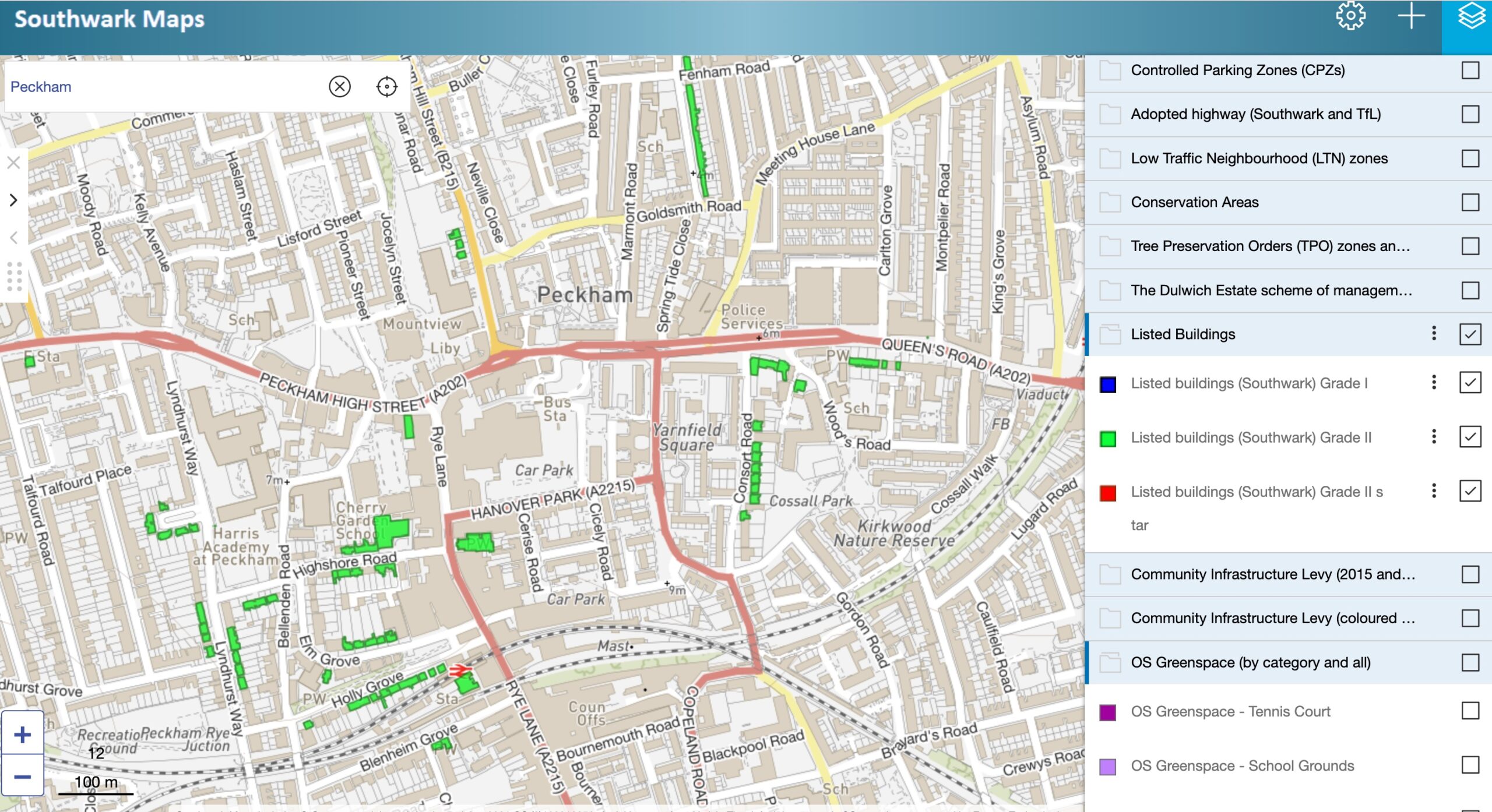
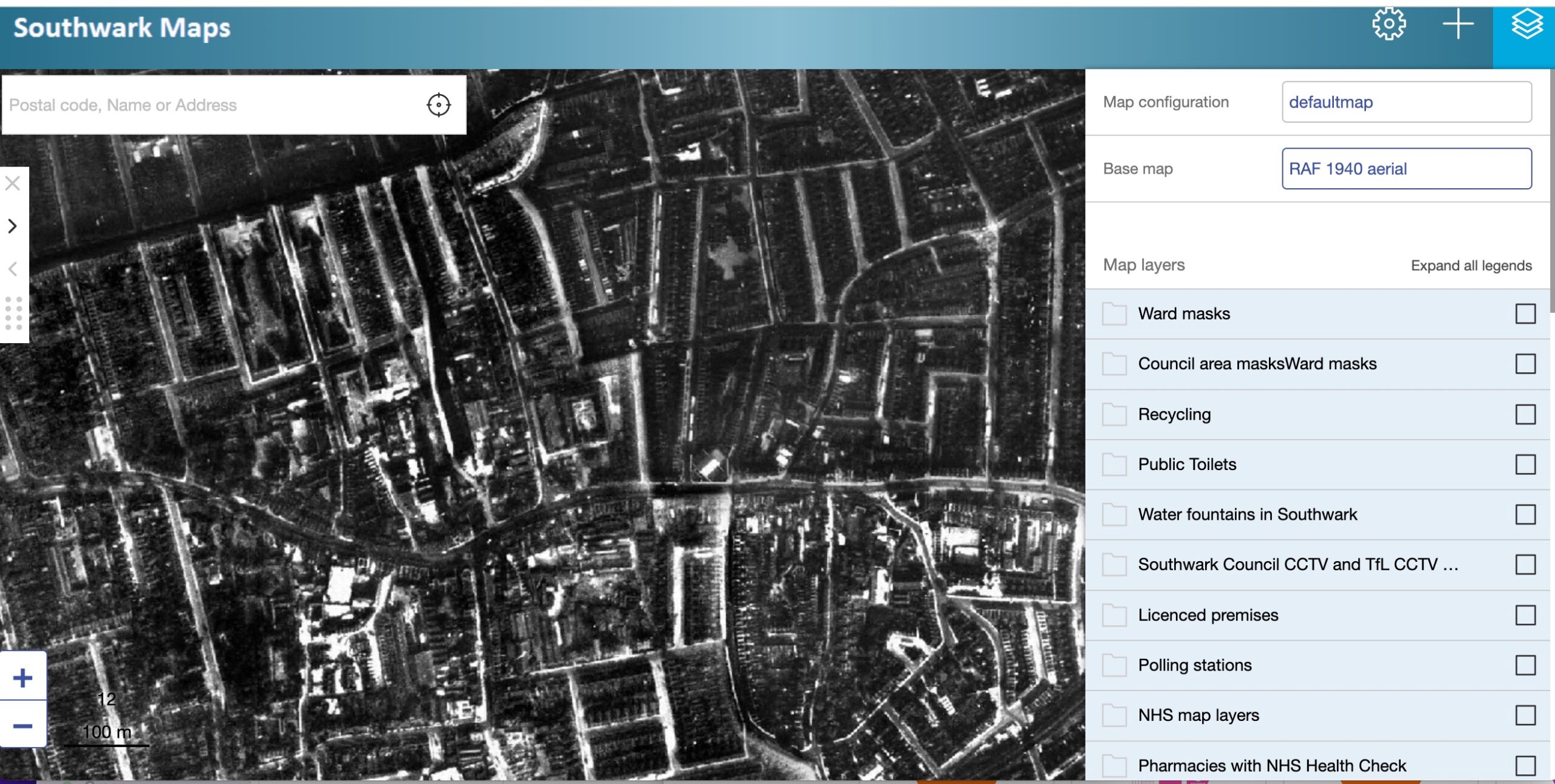
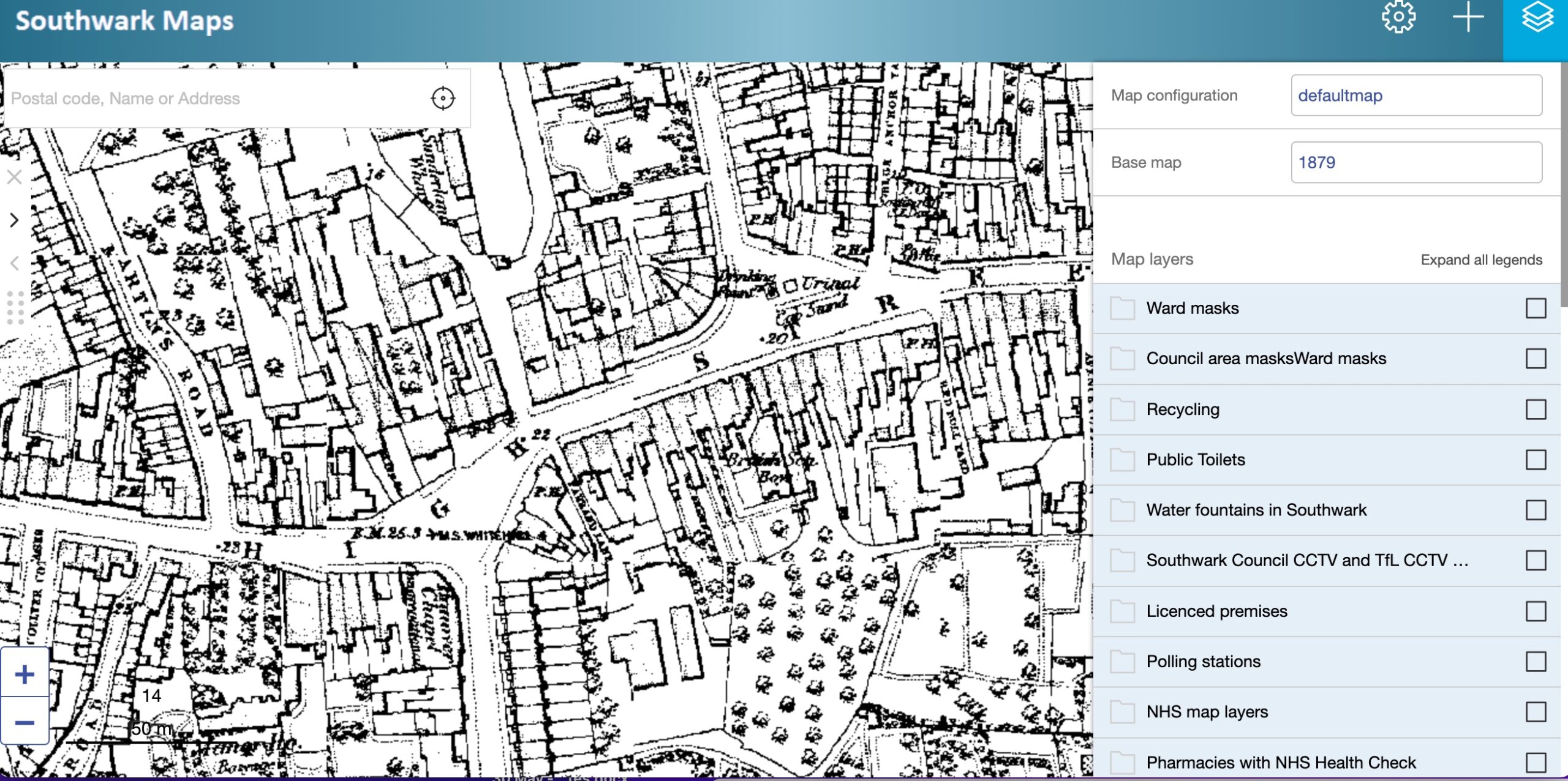
Did you know that Southwark’s mapping system holds maps from 1818 to today, aerial photographs, and layers of information on everything from ward boundaries to water fountains?
On Tuesday June 21 2022, Stuart Carter, Technology and Digital Services, Southwark Council, demonstrated how to navigate Southwark’s mapping system and helped us to understand how to access information for ourselves.
The talk can be viewed on this You Tube link.
Thanks to Stuart for a fantastic introduction to the world of Southwark maps!


